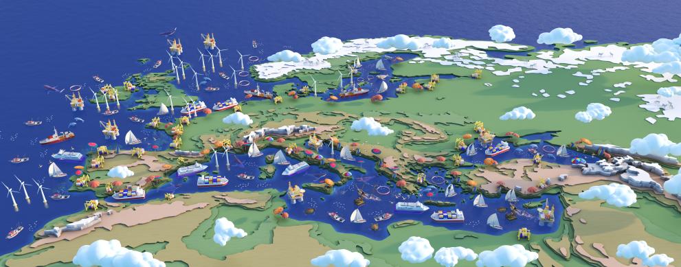
On 25 and 26 January, Maritime Spatial Planning (MSP) took centre stage for two full days of key developments, with the launch of the new MSP Assistance Mechanism and Blue Forum, the kick-off of three EU-funded projects on MSP and the establishment of the Community of Practice on MSP for the Mediterranean.
Launch of new MSP Assistance Mechanism and Blue Forum
On 25 January CINEA launched a new service contract for the Maritime Spatial Planning (MSP) Assistance Mechanism and Blue Forum, which has been awarded EUR 2.2 million for a period of two years. The is led by the French based consultancy Application Européenne de Technologies et de Services (AETS). The objective of the contract is to support the European Commission and the EU Member States in the implementation of their MSP plans and processes.
Since 2015 the European Commission financed support and expert services on Maritime Spatial Planning through an Assistance Mechanism, after the adoption of the MSP Directive. This Assistance Mechanism has developed an information and communication platform (the European MSP Platform), and provided support with a dedicated team of experts, studies, workshops, and more.
The new contract will also facilitate the dialogue between European blue economy communities and stakeholders with the establishment of a "European Blue Forum".
Three EU-funded projects on MSP kick off
Three new projects on Maritime Spatial Planning (MSP) funded under the European Maritime Fisheries and Aquaculture Fund’s call for proposals EMFAF-2021-PIA-MSP kicked off in the afternoon of 25 January. The total budget is around EUR 6 million. The three projects will help EU Member States tackle the specific challenges they might encounter when implementing, monitoring and revising their maritime spatial plans.
EMFAF Projects on Maritime Spatial Planning in brief
Regions to boost National Maritime Spatial Planning (REGINA MSP) aims at improving the participation of Local and Regional authorities, and stakeholders in the development and implementation of national maritime spatial planning. Regions are key players for interregional cooperation at sea basin level.
The project will produce eight regional case studies in two European sea basins (Atlantic and Mediterranean) to assess how Regions can better contribute to national MSP. It will also explore how they can benefit from it and contribute when necessary to complement it at lower administration levels and with a sea basin perspective.
Budget € 1,957,909.44
Maritime Spatial Planning as enabler of the European Green Deal (MSP-GREEN) aims to support MSP plans to become real “marine enablers” of the European Green Deal. The project will provide suggestions to better link the EU Green Deal and the MSP Directive, and to contribute in the review of MSP plans.
The consortium will collect practical examples (from participant countries' experience) and will prepare a set of recommendations on how to strengthen the EU Green Deal component of MSP plans. They will also engage regional sea communities, including from non-EU countries.
Budget: € 1,933,490.03
“Reviewing and Evaluating the Monitoring and Assessment of Maritime Spatial Planning” (ReMAP) aims at setting up strategies to revise maritime spatial plans. The project will focus in particular on the development of data tools, models and reuse of operational infrastructures, allowing interoperability and enabling Member States to share MSP data.
Monitoring and assessing performance is critical for the successful implementation of maritime spatial planning. However, the quantity of critical topics to consider and the huge amounts of data that should be collected in the operational phase of the plans result in very complex monitoring and performance assessment.
Member States need operational, efficient and cost-effective tools to model and understand MSP effects and planning impacts on the environment, the society and the economy. The project brings together participants from the Baltic Sea, the Mediterranean Sea and the Atlantic Ocean.
Budget € 1,917,103.64
Launch of the Community of practice on MSP for the Mediterranean
On 26 January CINEA together with DG MARE launched the Community of practice on Maritime Spatial Planning for the Mediterranean. This is a voluntary expert group from EU and non-EU countries working on MSP. There is a growing need for a continuous and structured dialogue within the MSP Community at the sea basin and sub-sea basin level.
While the main implementation processes happen at the national level, the transboundary dimension of MSP is essential to guarantee coherence and effectiveness as well as to tackle common challenges. A number of international cooperation frameworks and initiatives recognise the crucial role of MSP for a Sustainable Blue Economy in the Mediterranean, and provide recommendations towards a “Mediterranean Agenda for MSP”.
Therefore, the European Commission supported the creation of a new initiative to strengthen the community of MSP experts in the Mediterranean region through a Community of Practice – introduced for the first time during the WestMed Hackathon in Malta in June 2022.
Background Maritime Spatial Planning
Maritime Spatial Planning (MSP) aims to support efficient marine resources management and sustainable development. To this end, DG MARE in close cooperation with CINEA have been supporting the implementation of MSP through a number of projects. Since 2014, the European Maritime and Fisheries Fund (now EMFAF) has allocated almost EUR 32 million to support Member States on MSP through 7 Calls for Proposals. 18 MSP projects have been implemented across all the EU territory, including the outermost regions.
The MSP Directive entered into force in September 2014 and established a set of common minimum requirements. It represents an overarching governance framework for EU Members States, which are required to adopt maritime spatial plans by 2021 in all EU marine waters. Maritime Spatial Planning contributes to the achievement of good environmental status as established by Directive 2008/56/EC.
Among the requirements, Member States are requested to cooperate with bordering countries to ensure coherent plans are set across the marine region concerned and where possible to cooperate with third-country authorities. Furthermore, they are encouraged to make use of existing instruments and tools to organise the use of the best available data, necessary for the setting up of the maritime spatial plans.
Details
- Publication date
- 25 January 2023
- Author
- European Climate, Infrastructure and Environment Executive Agency