Maritime Spatial Planning (MSP) requires strategic vision to coordinate the use of the sea for marine protection et human activities. It needs reliable and comparable data and good cooperation between EU Member States, and with their neighbouring countries.
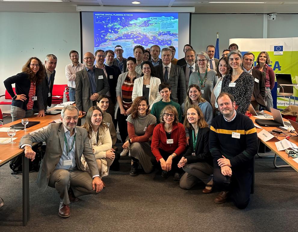
CINEA and DG MARE held two workshops with a spotlight on the most burning issues in Maritime Spatial Planning, with the support of the EU MSP Assistance Mechanism. The events brought together more than 300 experts and policy-makers.
Data harmonisation in Maritime Spatial Planning
National Maritime Spatial Plans need information related to a great variety of issues, from environmental status and biodiversity to suitable economic activities in coastal areas.
Since its establishment in 2020, the Technical Expert Group on Data for Maritime Spatial Planning (TEG Data) has been dealing with the current state of play of MSP data management, also supporting “Action I: Data for MSP” under the Updated MSP Global roadmap of the European Commission (DG MARE) and the Intergovernmental Oceanographic Commission of UNESCO (IOC-UNESCO).
On 13 March 2024, the TEG Data presented the latest MSP data tools and guidance to help EU Member States to harmonise data collection and find the right data. Its work led to the five latest publications below:
- Maritime Spatial Planning Data Framework (MSPdF) – How to structure MSP input data for process, monitoring and evaluation.
- Metadata Standard for Maritime Spatial Plans - a common structure to describe data associated with maritime spatial plans.
- Guidelines for the integration of the Socioeconomic impact of MSP
- Analysing the state of current practices and synergies in data usage between the Maritime Spatial Planning Directive and the Marine Strategy Framework Directive . Preliminary survey results
- The different data models available to support a harmonised MSP plan data available across Europe.
These publications tackle challenges such as data comparability, data reliability, data standardisation and harmonisation, using common terminology. They offer practical methods and tools that can support member states’ planners and MSP practitioners in their work. These were presented during the workshop in a practical way, illustrated with concrete examples.
Around 300 people attended the workshop, which was also supported by IOC-UNESCO and the Union for the Mediterranean.
Challenges and recommendations for Maritime Spatial Plans
The European Commission has been funding several projects to improve Maritime Spatial Planning processes. Experts of nine EU projects funded under EMFF/EMFAF and Horizon Europe took part in a workshop on 14 March 2024 to discuss current and future challenges of Maritime Spatial Planning.
In an interactive process, the projects coordinators shared their experience and identified three key challenges for further work on MSP:
- Ecosystem and biodiversity conservation: Environmental aspects, including how to ensure establishment of Marine Protected Areas as integrated part of MSP processes
- Transboundary context and cross-border cooperation, including cooperation with third countries
- Taking into account Climate Change in MSP – “Climate Smart MSP”
The participating projects were: e-MSP NBSR, MSP-OR, REGINA, MSP-Green, REMAP (funded under EMFAF), MSP4BIO, MPA Europe, Marineplan, PERMAGOV (funded under Horizon Europe Cluster 6) and Blue4all (funded under Mission Ocean).
The participants gave the European Commission some recommendations based on the results of their projects, which proved to be crucial for the national MSP processes and cross-border cooperation.
Participants underlined that the urgency of sustainable management of our oceans and seas and the impact of climate change push for cooperation across borders. Maritime Spatial Planning is considered as a driver for common solutions towards the 2030 European and global objectives to protect and sustainably use our oceans.
The participants highlighted the need for continuous coordination amongst different initiatives, and for bridging the gap between science and policy. They recommend very targeted communication on the project results towards the policy makers who develop the maritime plans, and concentrated efforts for science diplomacy.
Participants pointed out that growing together as an MSP community over the project lifetime is an intrinsic but important value of the EU support offered to the projects. It opens the way for better understanding and for more cooperation and synergies. The European MSP platform is the key knowledge centre of this community, and maritime stakeholders.
The feedback received will be taken into account in the development of future policy and support on Maritime Spatial Planning.
Background
Maritime Spatial Planning (MSP) aims to support efficient marine resources management and sustainable development. Since 2014, the European Maritime and Fisheries Fund (now EMFAF) has allocated almost EUR 32 million to support Member States on MSP through 7 Calls for Proposals. 18 MSP projects have been implemented across all the EU territory, including the European outermost regions. On 27 February 2024 another call for proposals closed, with potentially two new projects to be funded.
The MSP Directive entered into force in September 2014 and established a set of common minimum requirements. It represents an overarching governance framework for EU Members States, which are required to adopt maritime spatial plans by 2021 in all EU marine waters.
Among the requirements, Member States are requested to cooperate with bordering countries to ensure coherent plans are set across the marine region concerned and where possible to cooperate with third-country authorities. Furthermore, they are encouraged to make use of existing instruments and tools to organise the use of the best available data, necessary for the setting up of the maritime spatial plans.
Details
- Publication date
- 15 March 2024
- Author
- European Climate, Infrastructure and Environment Executive Agency
